|
|
2026 Mining History Association
On the Way to the MHA:
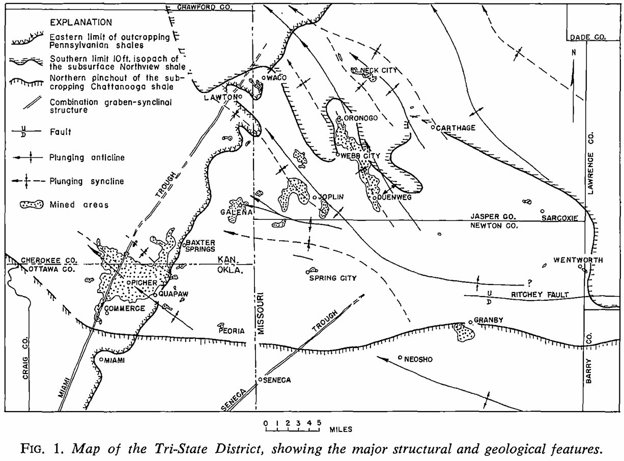
The Missouri Portion of the Tri-State
By Mike Kaas
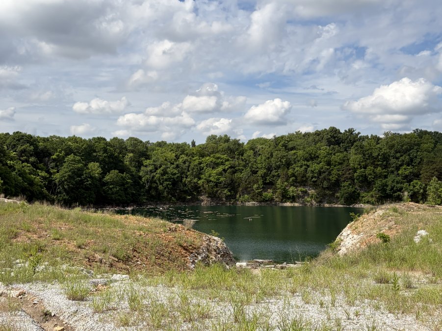
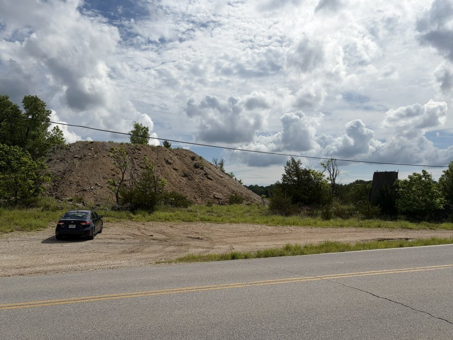
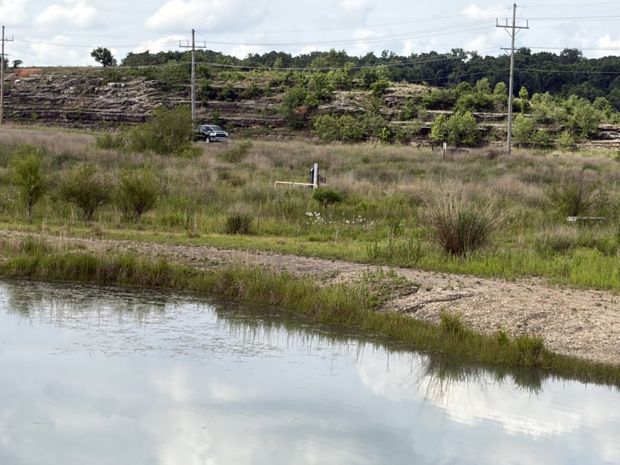
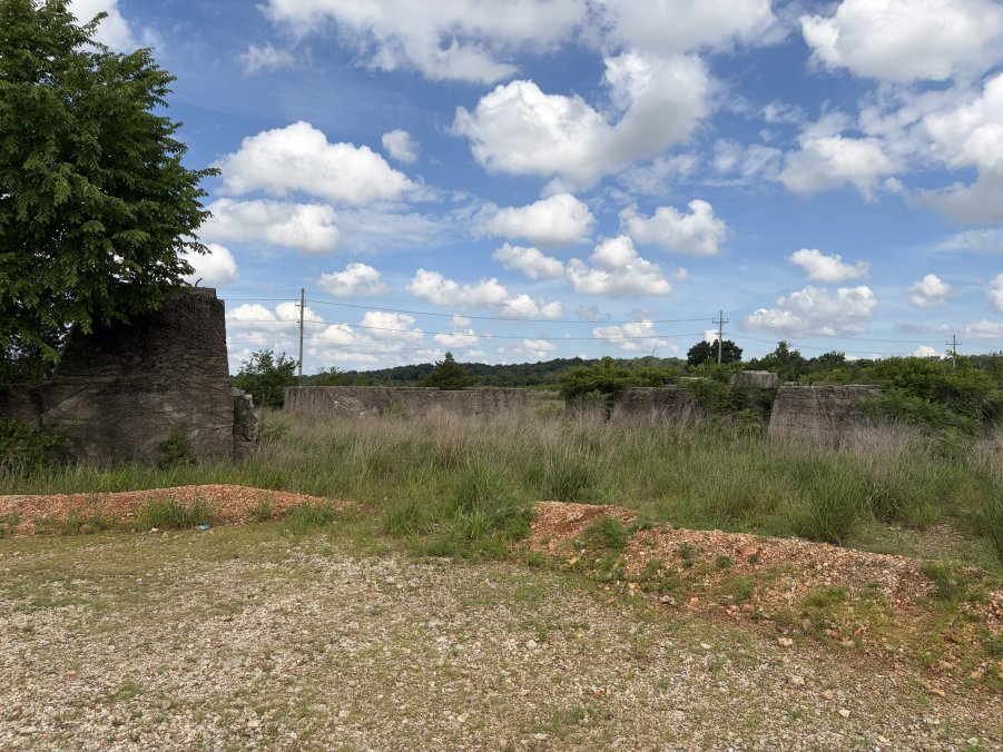
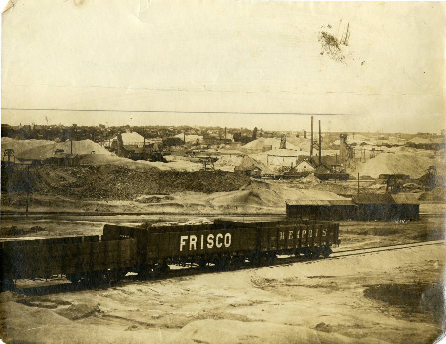
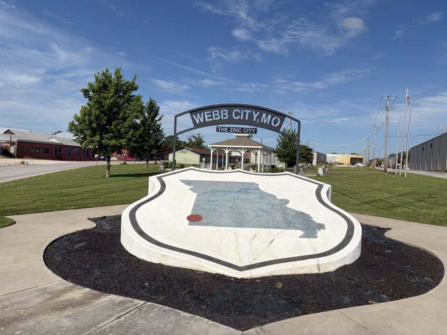
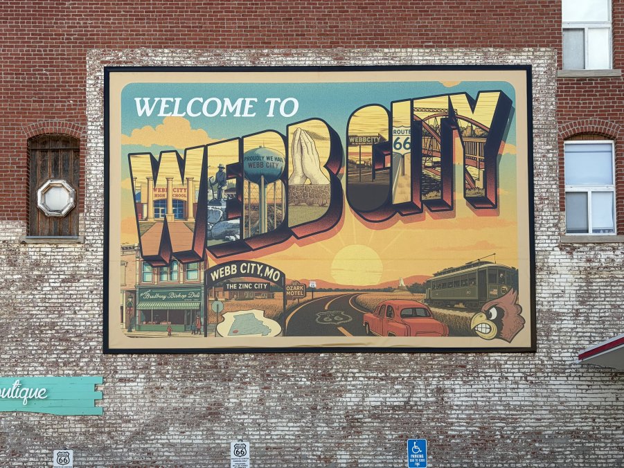
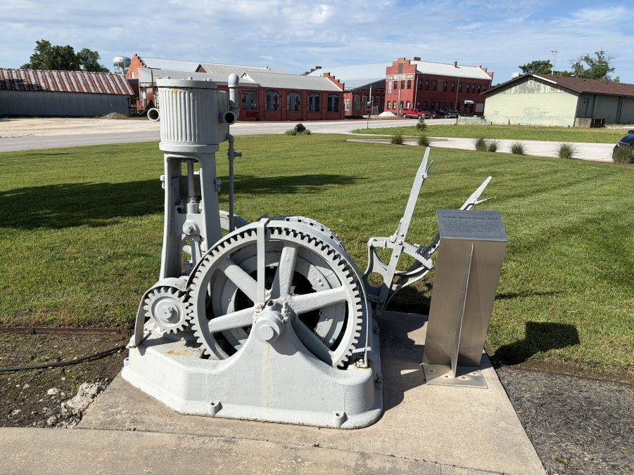
PHOTO GALLERY CLICK ON A PHOTO TO DISPLAY A LARGER IMAGE
| |||||||||||||||||||||
Photos courtesy of Mike Kaas.
CLICK HERE
TO RETURN TO THE CONFERENCE PAGE
CLICK HERE
TO RETURN TO THE FRONT PAGE
|