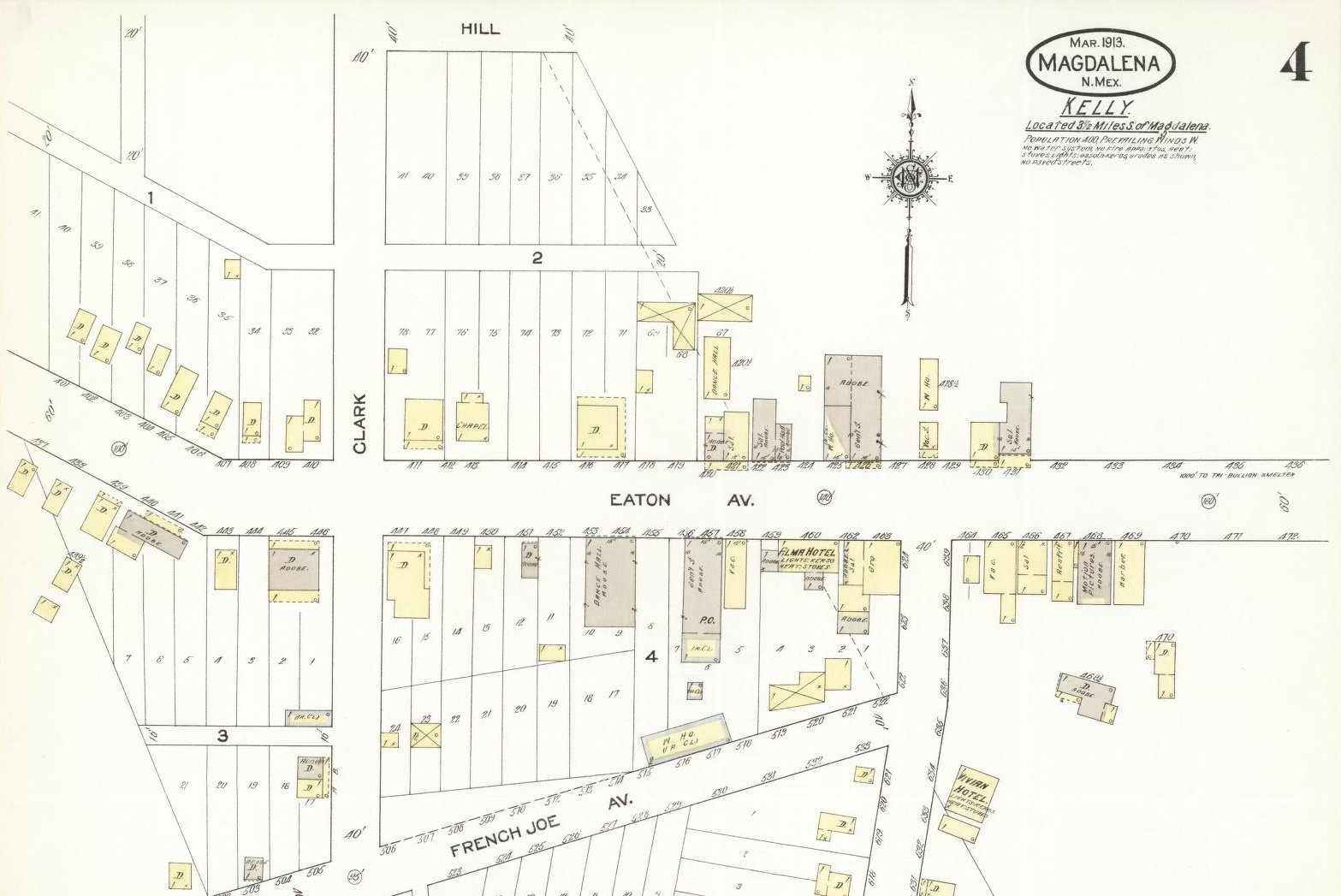
1913 Sanborn Fire Insurance Map of Kelly, New Mexico. (Library of
Congress)
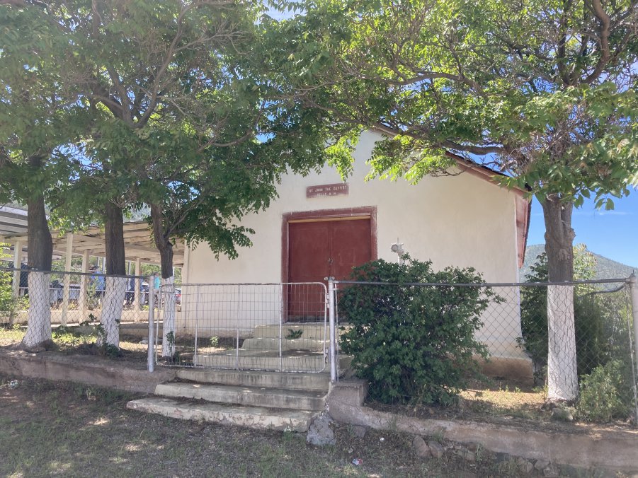
The Church of St. John the Baptist is the only building still
standing in Kelly.It is
used for occasional services attended by descendants of relatives
buried in the Kelly Cemetery.
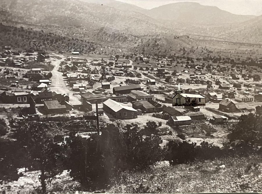
The Kelly church is not shown on the Sanborn Map above.Its image has been overlaid on this south-facing, 1907 photo
at the southeast corner of E-W running Eaton Avenue and N-S Clark
Street.See the Tour
Guide for more historic photos of Kelly.
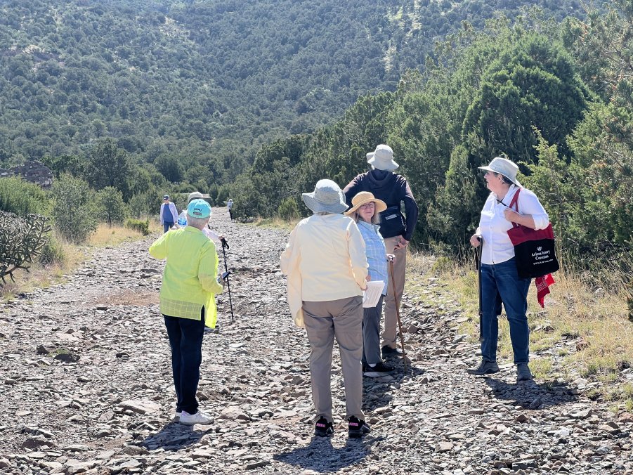
Tour leader, Cathy Spude, and her fellow MHAers head up Evans Avenue
to explore the remains of the once thriving town of Kelly.Originally called Middle Camp, it became Kelly in 1882.
Like many remote mining camps, Kelly experienced several fires.In 1889 a fire destroyed much of the town north of Evans
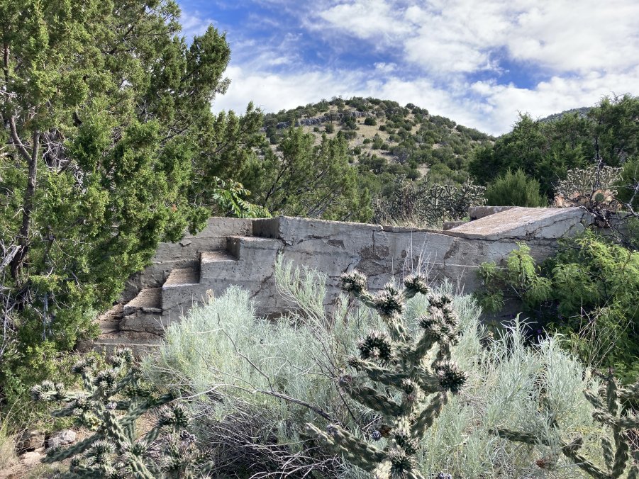
Avenue.These stairs
once led to the H. A. Robinson General Store, ca1885.
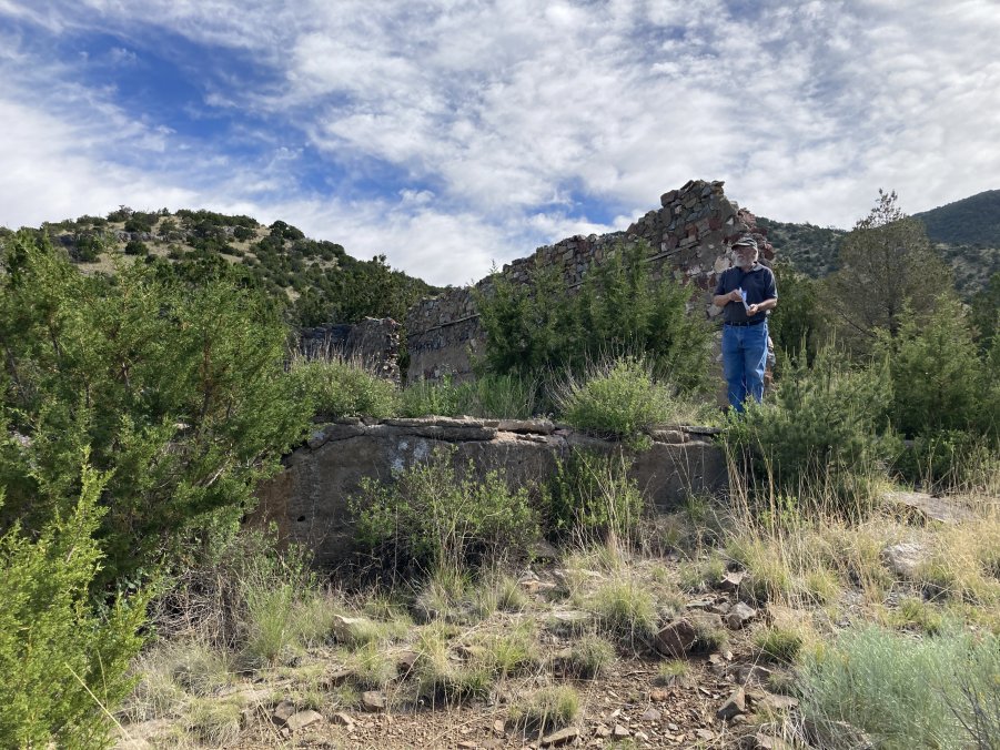
Bob Spude describes the town layout while standing at the ruins of
the Clark Hotel, ca1885.
It also was also a victim of a fire.
The sturdy stone and adobe walls of the Clark Hotel enabled it to be
rebuilt.
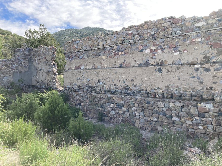
(Above) Many buildings on the south side of the avenue were
destroyed by a fire in 1915.This foundation of a restaurant built during the World War I
mining boom.
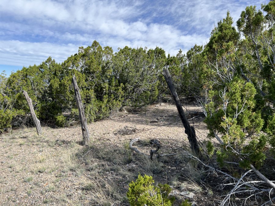
The Kelly Cemetery is located north of the townsite and is reached by
going uphill from the Kelly Church along Clark Street.It is partially fenced presumably to keep out livestock.
Photos Courtesy of Susan
Canty, Johnny Johnsson, Mark Langenfeld, Pat and Mike Kaas,